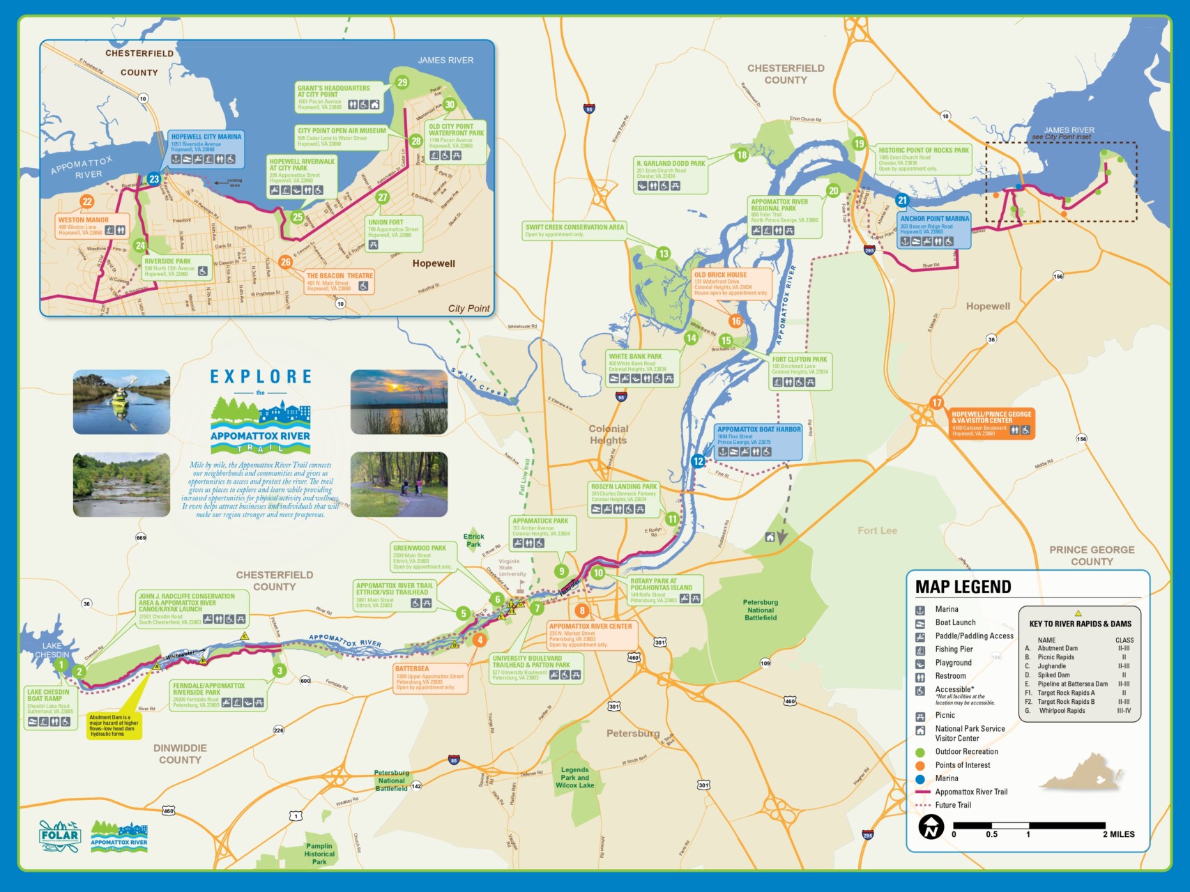
The Appomattox River Trail & Park System
The ART is a 25-mile long greenway and blueway from the Brasfield Dam in the west, over the Fall Line, to the Appomattox River’s confluence with the James in the East. Traversing six cities and counties and three distinct topographies: piedmont, fall line, and coastal, the ART is a major destination and a true gem for residents and visitors in the Tri-Cities region. Whether you’re looking for an urban getaway or to get away from it all, the ART can take you there!
Interactive Map
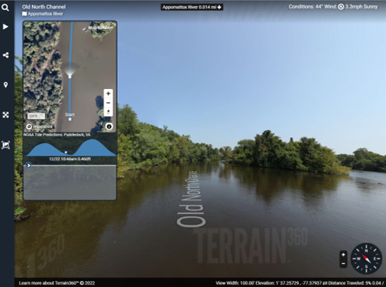
If you are looking for a park or trail along the Appomattox River, this interactive map is a great place to start and works on your computer or phone. After you click the ![]() button at the bottom-right corner of the map to open in a new tab, you can then click the
button at the bottom-right corner of the map to open in a new tab, you can then click the ![]() button to find where you are. Very handy when you are on the trail or river!
button to find where you are. Very handy when you are on the trail or river!


