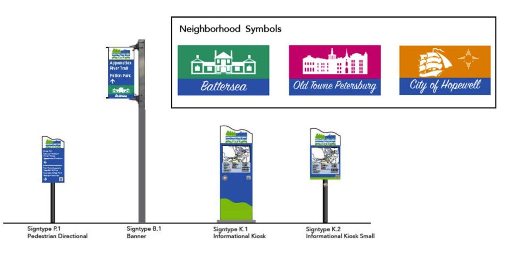
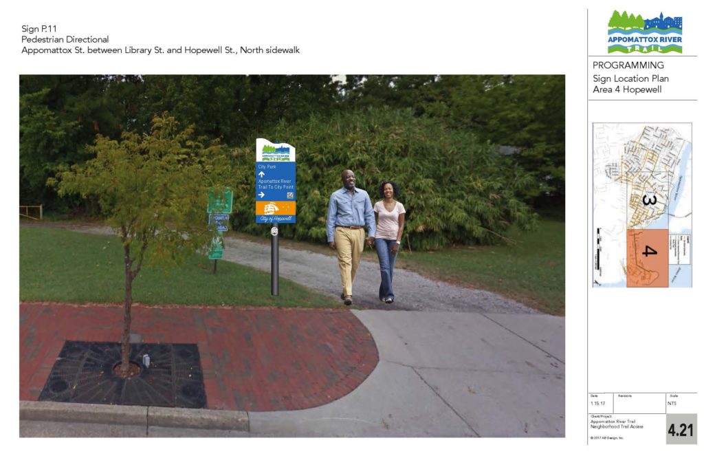
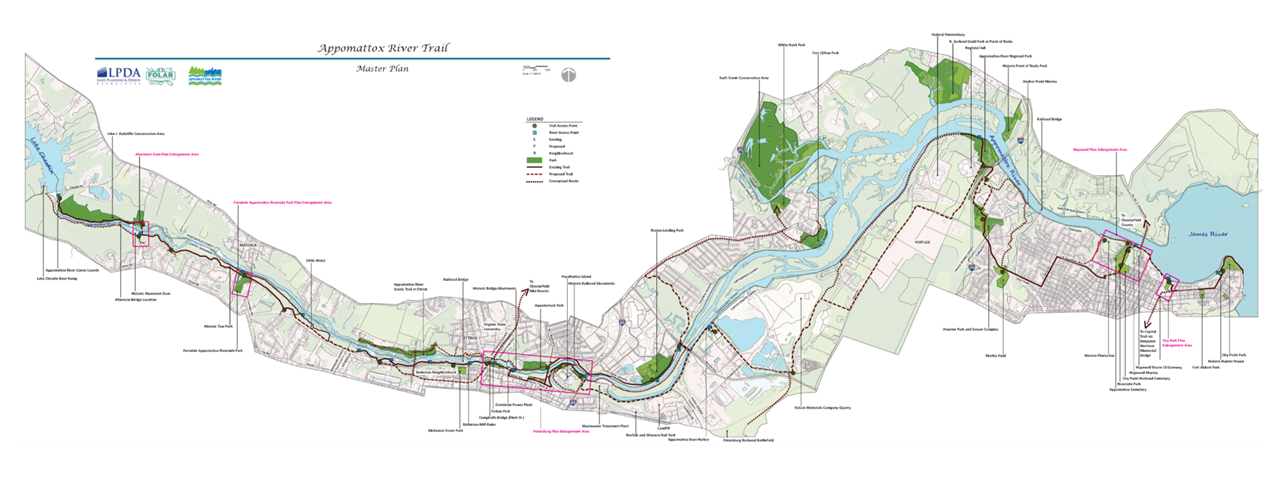
The Appomattox River Trail Master Plan is a guide to locating and prioritizing shared-use trails with a coordinated signage system through the six municipalities that border the lower Appomattox River. The area encompasses the counties of Chesterfield, Dinwiddie and Prince George, and the cities of Colonial Heights, Hopewell and Petersburg. The document is presented in two parts. Part I focuses on the trail plan, and Part II focuses on the corresponding signage plan – a unique aspect of the project. The planned trail and signage offer walkers and cyclists safe, enjoyable connections to recreational opportunities, greenspace and nature, as well as connections to historic sites and structures, businesses, jobs, schools and transit.
The Master Plan was developed through a $100,000 proactive grant from The Cameron Foundation, and with the combined efforts of FOLAR and two consulting design companies – Land Planning and Design Associates as well as AB Design – along with significant input from regional stakeholders and the public.
Through a grant from the Crater Health District (CHD) under the Virginia Department of Health, FOLAR was able to expand the scope of the Appomattox River Trail planning project to include more engagement with Hopewell and Petersburg residents. The expanded scope focuses on neighborhoods along the river in the Cities of Hopewell and Petersburg in order to help provide increased opportunities for residents to add more physical activity into their daily routines.


