Responsible use of the river starts with knowing the current weather and river conditions.
The Appomattox River has both whitewater and tidal flatwater sections.
RIVER CONDITIONS
UPPER / WHITEWATER SECTION
The Appomattox River between the Brasfield Dam at Lake Chesdin and the fall line in Petersburg/Ettrick has areas of whitewater rapids. The closest water gauge for this section is the Matoaca Gauge (shown below based on the USGS site). Rapid names and classes are listed on our brochure map. You can also check the American Whitewater website for more information.
GUIDE TO THE MATOACA GAUGE READINGS
| RIVER LEVEL AT MATOACA GAUGE | WHITEWATER PADDLER SKILL LEVEL |
|---|---|
| ~ 400 – 1200 ft3/s | 2.5 ft to 3.9 ft | Easy to Moderate |
| ~ 1200 – 2800 ft3/s | 3.9 ft to 5.5 ft | Moderate to Difficult |
| ~ 2800 – 4800 ft3/s | 5.5 ft to 7 ft | Difficult to Extremely Difficult |
| Above ~ 4800 ft3/s | Over 7 ft | Very Hazardous Expert only! |
LOWER / FLATWATER SECTION
The Appomattox River is tidal below the fall line at Appamattuck Park in Colonial Heights (North Bank) or Patton Park in Petersburg (South Bank). The gauge for the tide chart (shown below) is located near the Appomattox Small Boat Harbor in Prince George County.
WATER QUALITY – JAMES RIVER WATCH
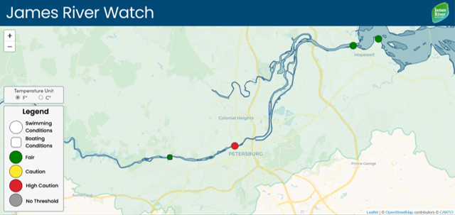
The Appomattox River is part of the James River Watershed and is monitored for water quality by our friends at James River Association (JRA). Click here to explore their map – James River Watch – which gives you helpful water quality data across the entire James River Watershed. Water quality measurements, like e coli concentration and turbidity, are taken once a week between Memorial Day in May and Labor Day in September at the following locations on the lower Appomattox River: Harvell Dam by JRA Volunteers in partnership with Virginia State University; Hopewell Rt. 10 by Virginia American Water; and City Point by JRA Volunteers.
Our Partners


